Technology and innovation

Remote Sensing and Its Evolution

Remote Sensing and Its Evolution

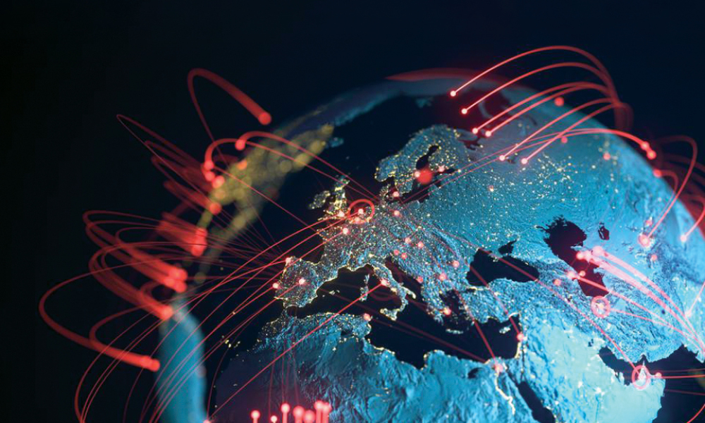
Remote sensing is one of the types of geospatial technologies used for data collection in the form of imagery from space or UAVs and sensor platforms. It supports the collection

Read More »

Demystifying GEOINT

Geospatial Intelligence has become indispensable to modern militaries for a host of purposes, especially in the wake of ongoing Ukraine Conflict. In this scenario, there’s an immediate need to focus

Read More »
Fossils Satellite

Finding Fossils Through Satellite Imagery

After recent developments, Palaeontologists can now use satellite imagery to predict and identify possible fossil sites before venturing into remote places. Edward Davis from the Department of Earth Sciences, University

Read More »
Satellite Imagery of Ukraine war

Assessing Infra Damage in War-torn Ukraine

Satellite imagery, AI and geospatial technologies are being extensively used in conflict zone Ukraine for not just search and rescue missions, relief and rehabilitation efforts, and frontline emergency communications, but

Read More »

MORE PRIME READ

Indian Space Policy 2023: What Startups Think?

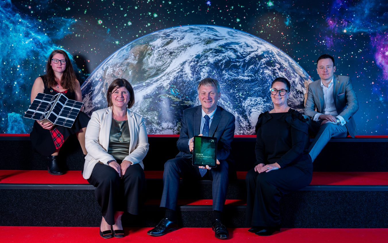
India has released the policy document for the new Indian Space Policy to the public on 20th April 2023, which establishes guidelines, visions and strategies to carry out end-to-end activities